
Currently Empty: ₹0.00


Description
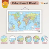
2 in 1 World Political and Physical Map – Description
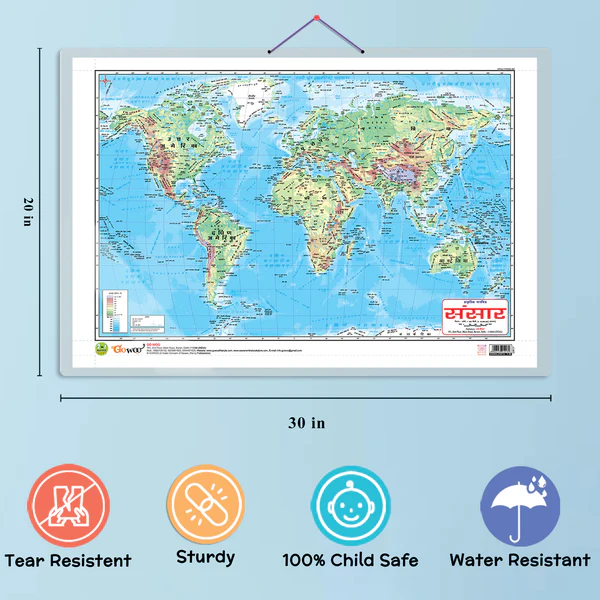
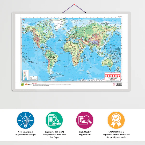
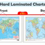
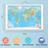
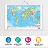
A “2 in 1 World Map” combines both political and physical features of the Earth on a single map. It is a highly useful educational tool for students, teachers, and geography enthusiasts.
🗺️ 1. Political Map Features:
-
Shows countries with clearly marked borders.
-
Includes country names, capital cities, and major urban centers.
-
Different countries are shown in varied colors for easy distinction.
-
Some maps also display internal boundaries like states or provinces.
📌 Use: Ideal for understanding global politics, international borders, and administrative divisions.
🏔️ 2. Physical Map Features:
-
Displays natural landforms such as:
-
Mountains
-
Rivers
-
Deserts
-
Oceans & Seas
-
Plains & Plateaus
-
-
Uses color gradients or shading to represent elevation and terrain.
📌 Use: Helps in studying Earth’s physical geography and land features.
✅ Benefits of a 2 in 1 Map:
-
Combines two maps in one, saving space and cost.
-
Provides a complete geographical understanding—both natural and political.
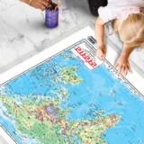
-
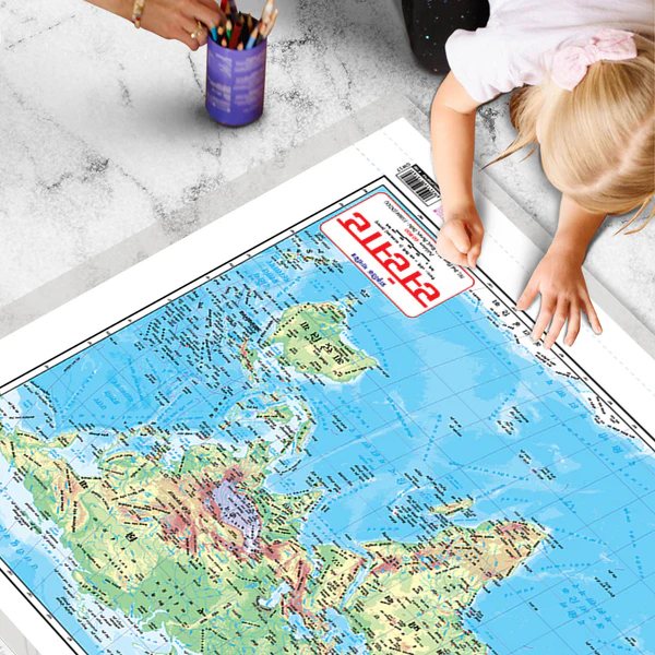
Great for classrooms, study rooms, and competitive exam preparation.
-
Available in wall chart formats, laminated versions, and digital downloads.


There are no reviews yet.