

Total: ₹720.00
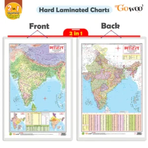
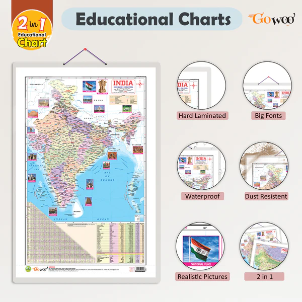
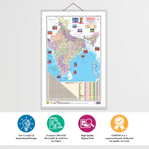
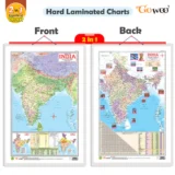
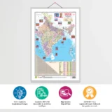
The 2 in 1 India Political and Physical Map is a comprehensive educational map that displays both the administrative (political) and geographical (physical) features of India in a single view. It is a perfect resource for students, teachers, researchers, and competitive exam aspirants.
Shows state and union territory boundaries.
Labels state names, capitals, and major cities.
Clearly marks international borders with neighboring countries like China, Pakistan, Nepal, Bhutan, Bangladesh, and Myanmar.
Displays important highways, rail routes, and administrative divisions.
📘 Use: Helpful for understanding India’s political structure, governance, and administrative layout.
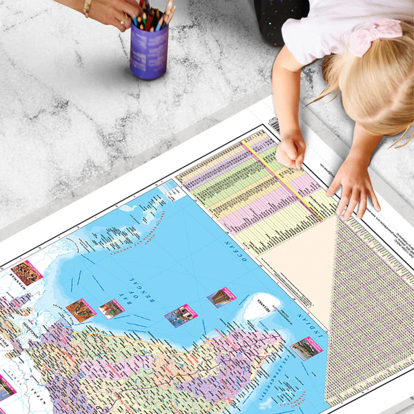
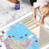
Illustrates landforms and terrain such as:
Himalayas in the north
Thar Desert in the west
Deccan Plateau in the south
Northern plains, coastal regions, and island groups
Includes major rivers (Ganga, Yamuna, Brahmaputra, Godavari, Krishna, etc.), mountain ranges, and water bodies (Arabian Sea, Bay of Bengal, Indian Ocean).
Uses color gradients and elevation shades to show height, depth, and terrain type.
📘 Use: Ideal for understanding natural features, topography, and physical geography.
Dual-purpose map combining political and physical features in one layout.
Saves space and offers a complete visual learning tool.
Useful for:
School education
UPSC/SSC and other competitive exams
Wall charts in classrooms and study rooms
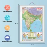
Often available in laminated format, wall size, and digital versions.
Language: Available in English, Hindi, or bilingual versions.


There are no reviews yet.