


Total: ₹24,680.00
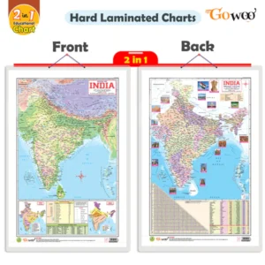
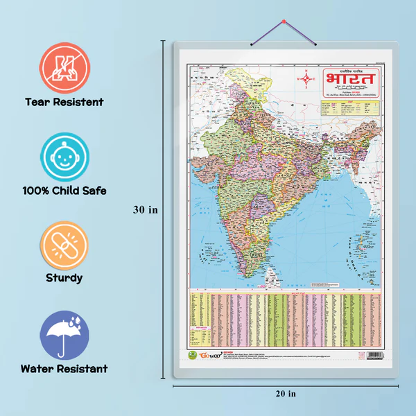
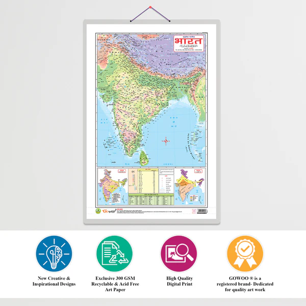
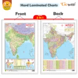
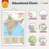
A “2 in 1 India Map” is a combined map that displays both political boundaries and physical features of India. It is an essential tool for geography learning and general knowledge about the country.
Shows state and union territory boundaries.
Includes state names and capital cities.
Highlights international borders with neighboring countries.
Major cities, highways, and important landmarks are often labeled.
📌 Purpose: Helps understand administrative divisions, political geography, and the layout of Indian governance.
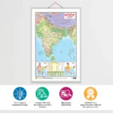
Depicts India’s physical geography such as:
Himalayan mountain ranges
Thar Desert
Deccan Plateau
Rivers (Ganga, Yamuna, Brahmaputra, etc.)
Coastal plains and islands


There are no reviews yet.